The National Library of Scotland has a fantastic OS six-inch map of England and Wales which shows much information about the Pleasure Gardens. This link – CLICK HERE – will take you to the online version of Burgess Hill, revised in 1909. I have copied the Pleasure Gardens section below, highlighted in yellow (click on it to enlarge).
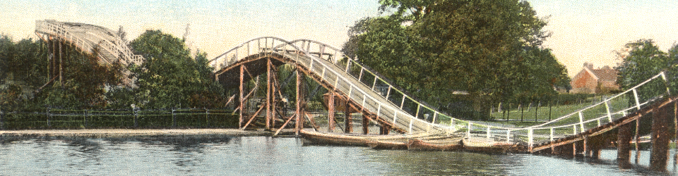
Items of interest include the Switchback, the large Pavilion, lake, boat house and the cycle track.


